


Digitising Ordance Survey Maps in Oxford UK
Archiving and Scanning Digitisation at Oxford Duplication Centre
We create digital preservation copies of your collections so that were anything to happen to the physical copies, the information would not be lost. Furthermore, digital copies protects the original physical copies from excessive handling.
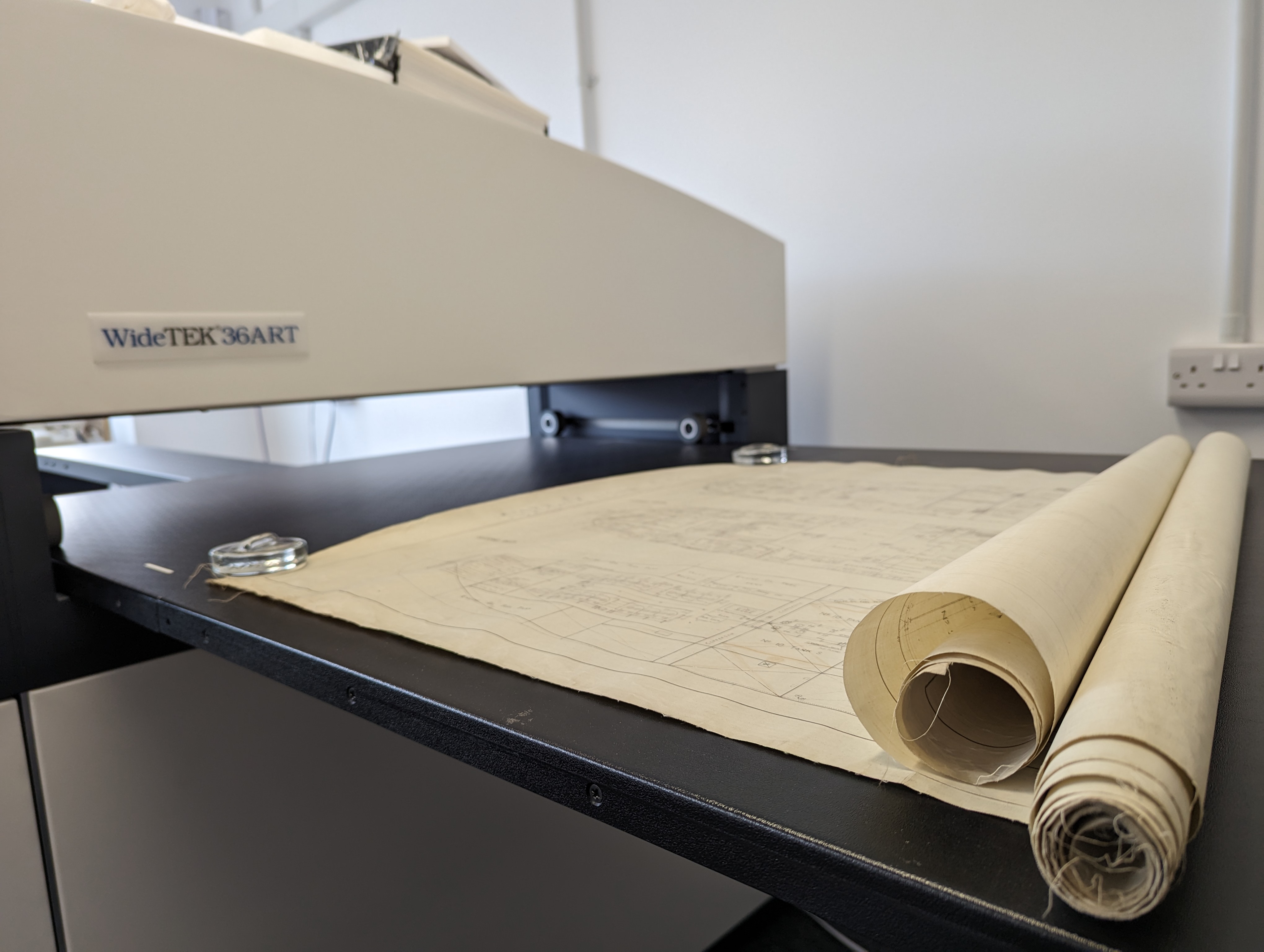
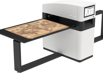
Using award winning WideTek contactless scanners and wide format CIS Scanners, digitising upto 36" at 1200 dpi resolution, our scanner offers all output options to suit archivists, librarians, corporate and private clients with digital images that comply with The National Archive Standards.
HOW WE CAN SUPPORT YOU WITH YOUR HISTORICAL PROJECTS
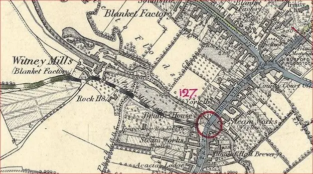
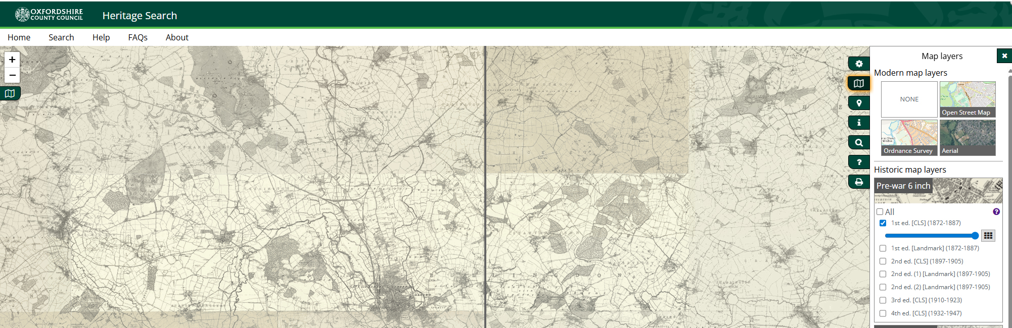
Working with Oxfordshire County Council, we digitise ordnance survey maps printed on different textures to include parchment, linen, cotton or paper types from the 1840s through the 1980s, using our WideTek sheet-fed. Please view LINK.
Formats for storing the digitised masters of historical documents and maps: Uncompressed TIFF JPEG2000 part 1 (lossless and lossy), JPEG, PNG, TIFF. For text documents like newspapers or books, we use formats to include PDF-A.
| |||||||||||||||||||||||||||||||||||||||||||||